TeleDeECTION Specialist course
Request information

Syllabus
Download syllabus in PDFCurriculum
Summary
Teledetection, or remote detection, is the technique that allows the collection of different types of land surface information, performed at a distance and through sensors. At present, remote sensing has great relevance for its use in the processing and analysis of digital data representative of physical space. Geographic information systems play an essential role in the search for solutions to environmental problems, as well as to provide information for the elaboration of proposals in projects of different kinds. Through this course, the appropriate knowledge is offered to develop professionally in the surrounding environment, a sector in continuous change and growth, and that requires professionals who know the technical aspects.
Goals
Professional opportunities
To prepare you
Thanks to the television course you can acquire the appropriate professional skills and competences to develop professionally in the environment of geographic information systems, specializing in all aspects related to the analysis and interpretation of data. In addition, from an environmental perspective, you will learn to calculate the NDVI, as well as to control the geo-processing of digital data.
Who is it addressed to?
This television course is aimed at professionals, students and graduates of those professional fields that require working with spatial data and satellite image processing, specializing in remote sensing and the use of geographical information systems. Similarly, he addresses anyone who is interested in training in this area.
Official Character
This training is not included in the scope of official regulated training (Infant Education, Primary Education, Secondary Education, Official Professional Training FP, Baccalaureate, University Degree, Official University Master and PhD). It is therefore a complementary and/or specialization training, aimed at acquiring certain skills, skills or aptitudes of a professional nature, being able to be barely as merit in workbags and/or opposition competitions, always within the complementary training section and/or continuous training being always essential to review the specific requirements of the public labor stock of the public labor stock market.

Our methodology combines technology, pedagogy and empathy for learning tailored to you.
You set the pace, decide the path and artificial intelligence accompanies you so that you learn better, with meaning and purpose.

Truly personalized learning
Your style, interests and level define the route. You are the starting point.

Constructivism in action
Explore, experiment and apply. Learning means understanding, not memorizing.

AI that accompanies you, not directs you
PHIA, our artificial intelligence assistant guides you without limiting your autonomy.

Evaluation without pressure
Continuous and adaptive feedback. Because learning is a process, not a number.
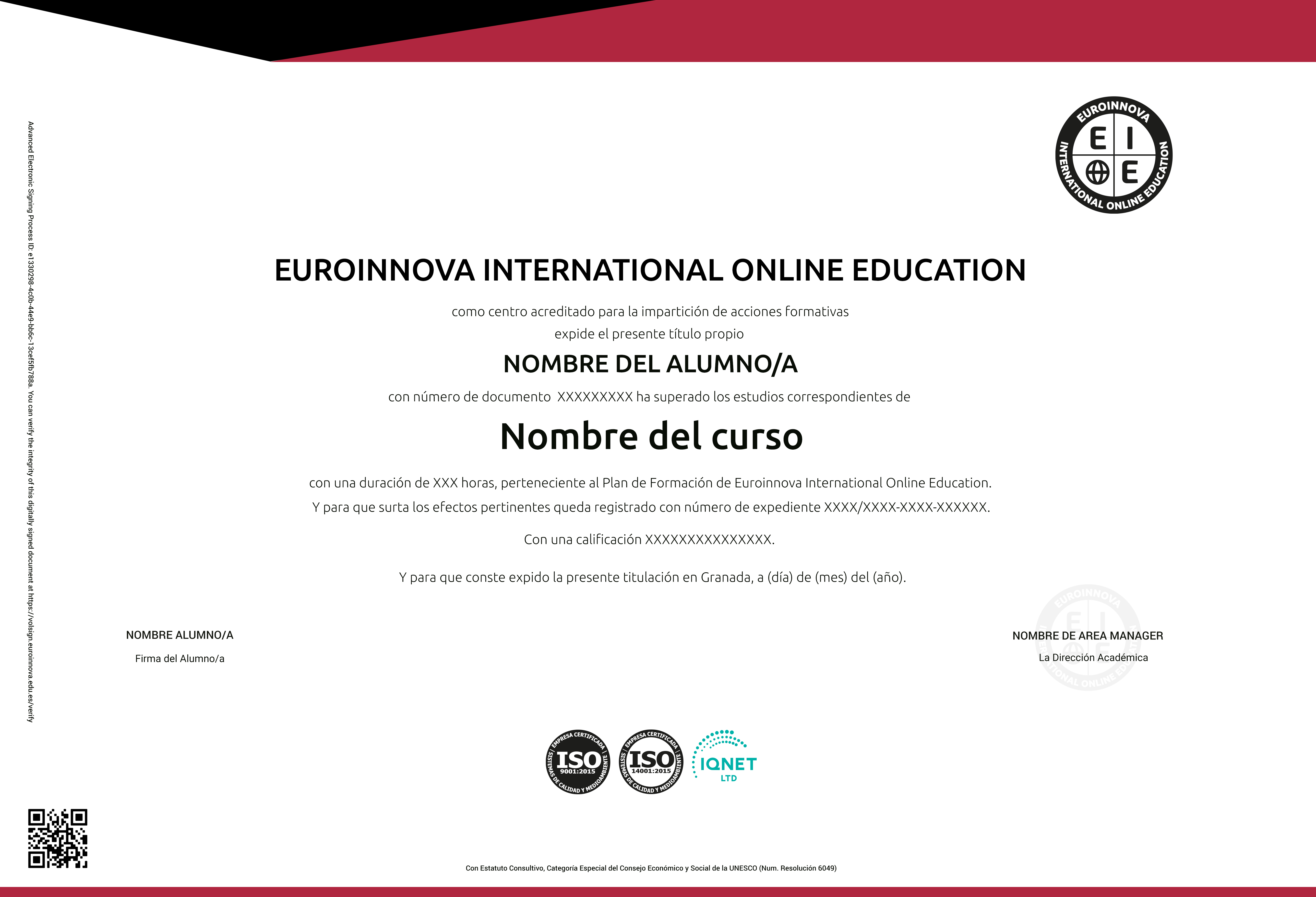
Certification
Degree issued by Euroinnova International Online Education, member of the AEEN (Spanish Business School Association) and recognized with academic excellence in online education by QS World University Rankings
EducaHub Scholarships
Make your training more accessible: finance at 0% interest and obtain personalized scholarships.
At EducaHub we believe that education should be available to everyone. For this reason, we offer a Scholarship Plan that facilitates your access to practical, current and quality training, eliminating economic barriers.
-25%
Alumni Scholarship: for former EducaHub students.
-20%
Unemployment Scholarship: if you prove that you are unemployed.
-20%
Large Family Scholarship: for families with 3 or more children.
-20%
Disability Scholarship: for people with disabilities ≥33%.
-15%
Emprende Scholarship: for self-employed workers who can prove their activity.
-15%
Recommended Scholarship: if you come recommended by a former student.
-15%
Group Scholarship: for joint registrations of 3 or more people.
An entire educational universe, on a single platform.
An intuitive environment with AI that guides you to train autonomously and with purpose.

Learn at your pace
Courses, master's degrees and official qualifications. 100% online, flexible and at your pace.

Access from anywhere
Available 24/7 on mobile, tablet or PC. You decide when and how to train.

Phia, your AI mentor
It challenges you, motivates you and personalizes your path. Learn with a guide that evolves with you.

LX One Plus: Training without limits
Unlock soft skills, languages and more. Move towards comprehensive and continuous training.