ArcGIS Course: Geographic Information Systems (University Degree + 6 ECTS)


Request information


Syllabus
Download syllabus in PDFCurriculum
Summary
A geographical information system is an organized hardware, software and geographical data integration designed to capture, store, manipulate, analyze and display in all its ways the geographically referenced information in order to solve complex planning and management problems. This tool is ideal for projects that need to integrate scientific knowledge, since varied information and different sources can be used that facilitates the simultaneous analysis of the same problem. With this SIG course it will be useful to carry out all kinds of geographical projects
Goals
Professional opportunities
To prepare you
This course in geographic information systems (ArcGIS) prepares you to handle and use geographic information systems (GIS), through the precise knowledge of the ArcGIS tool.
Who is it addressed to?
The Specialist in Geographic Information Systems (ArcGIS) is aimed at all those who want to learn or update their knowledge in Geographic Information System.
Official Character
This training is not included in the scope of official regulated training (Infant Education, Primary Education, Secondary Education, Official Professional Training FP, Baccalaureate, University Degree, Official University Master and PhD). It is therefore a complementary and/or specialization training, aimed at acquiring certain skills, skills or aptitudes of a professional nature, being able to be barely as merit in workbags and/or opposition competitions, always within the complementary training section and/or continuous training being always essential to review the specific requirements of the public labor stock of the public labor stock market.

Our methodology combines technology, pedagogy and empathy for learning tailored to you.
You set the pace, decide the path and artificial intelligence accompanies you so that you learn better, with meaning and purpose.

Truly personalized learning
Your style, interests and level define the route. You are the starting point.

Constructivism in action
Explore, experiment and apply. Learning means understanding, not memorizing.

AI that accompanies you, not directs you
PHIA, our artificial intelligence assistant guides you without limiting your autonomy.

Evaluation without pressure
Continuous and adaptive feedback. Because learning is a process, not a number.
Certification


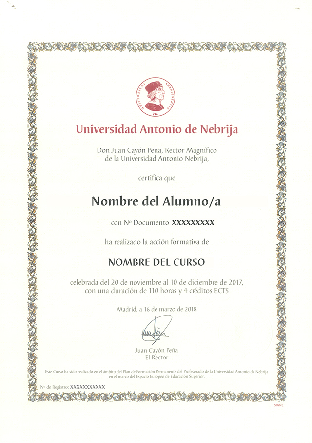
University degree in ArcGIS: Geographic Information Systems with 6 ECTS University Credits. Continuous Baumable Training in Work Stock Exchanges and Contests of Public Administration.
EducaHub Scholarships
Make your training more accessible: finance at 0% interest and obtain personalized scholarships.
At EducaHub we believe that education should be available to everyone. For this reason, we offer a Scholarship Plan that facilitates your access to practical, current and quality training, eliminating economic barriers.
-25%
Alumni Scholarship: for former EducaHub students.
-20%
Unemployment Scholarship: if you prove that you are unemployed.
-20%
Large Family Scholarship: for families with 3 or more children.
-20%
Disability Scholarship: for people with disabilities ≥33%.
-15%
Emprende Scholarship: for self-employed workers who can prove their activity.
-15%
Recommended Scholarship: if you come recommended by a former student.
-15%
Group Scholarship: for joint registrations of 3 or more people.
An entire educational universe, on a single platform.
An intuitive environment with AI that guides you to train autonomously and with purpose.

Learn at your pace
Courses, master's degrees and official qualifications. 100% online, flexible and at your pace.

Access from anywhere
Available 24/7 on mobile, tablet or PC. You decide when and how to train.

Phia, your AI mentor
It challenges you, motivates you and personalizes your path. Learn with a guide that evolves with you.

LX One Plus: Training without limits
Unlock soft skills, languages and more. Move towards comprehensive and continuous training.