Data course and foundations for geographic information technologies applied to Smart Cities

Request information


Temario
Descargar temario en PDFPlan de estudios
Summary
In the Era of Digital Innovation, the "Data and Fundamentals of Geographic Information Technology applied to Smart Cities" is presented as a key tool for professionals who seek to understand and manipulate geospatial data infrastructure in the field of smart cities. The agenda covers from the introduction to the QGIS environment and the processing of alphanumeric data to the advanced edition and understanding of coordinate systems, preparing participants to effectively manage and analyze georeferenced information. This course is an essential link between theory and technical ability, allowing participants to apply knowledge in analysis and modeling for optimal urban planning and project management. Through comprehensive training and adapted to current requirements, who take this course will strengthen their ability to contribute to the development of more efficient and strategically planned urban environments.
Goals
Professional exits
To prepare you
The "Data and Fundamentals of Geographic Information Technologies applied to Smart Cities" prepares participants to efficiently manage georeferenced data through QGIS. You will learn to handle tools and procedures to capture and process space information, key in urban planning and administration. It dominates the bases of data analysis and modeling, as well as their visualization, to address challenges in the development of smart cities. You will deepen from coordinate systems to the advanced edition of alphanumeric data.
Who is it addressed
The "Data and Fundamentals of Geographic Information Technologies applied to Smart Cities" is intended for professionals in urban planning, public management and related areas, who wish to learn about the management of georeferenced data for urban planning and administration. It covers from the introduction to the QGIS project to coordinate systems and data editing, preparing participants to address urban challenges through the manipulation and analysis of spatial information. Ideal for those who collaborate in intelligent cities projects, seeking to enrich their skills in the analysis and visualization of spatial data.

Our methodology combines technology, pedagogy and empathy for a tailored learning.
You mark the rhythm, you decide the way and an artificial intelligence accompanies you to learn better, with meaning and purpose.

Realized personalized learning
Your style, interest and level define the route. You are the starting point.

Constructivism in action
Explore, experience and apply. Learning means understanding, not memorizing.

He who accompanies you, not who directs you
Phia, our artificial intelligence assistant guides you without limiting your autonomy.

Evaluation without pressure
Continuous and adaptive feedback. Because learning is a process, not a figure.
Certificación

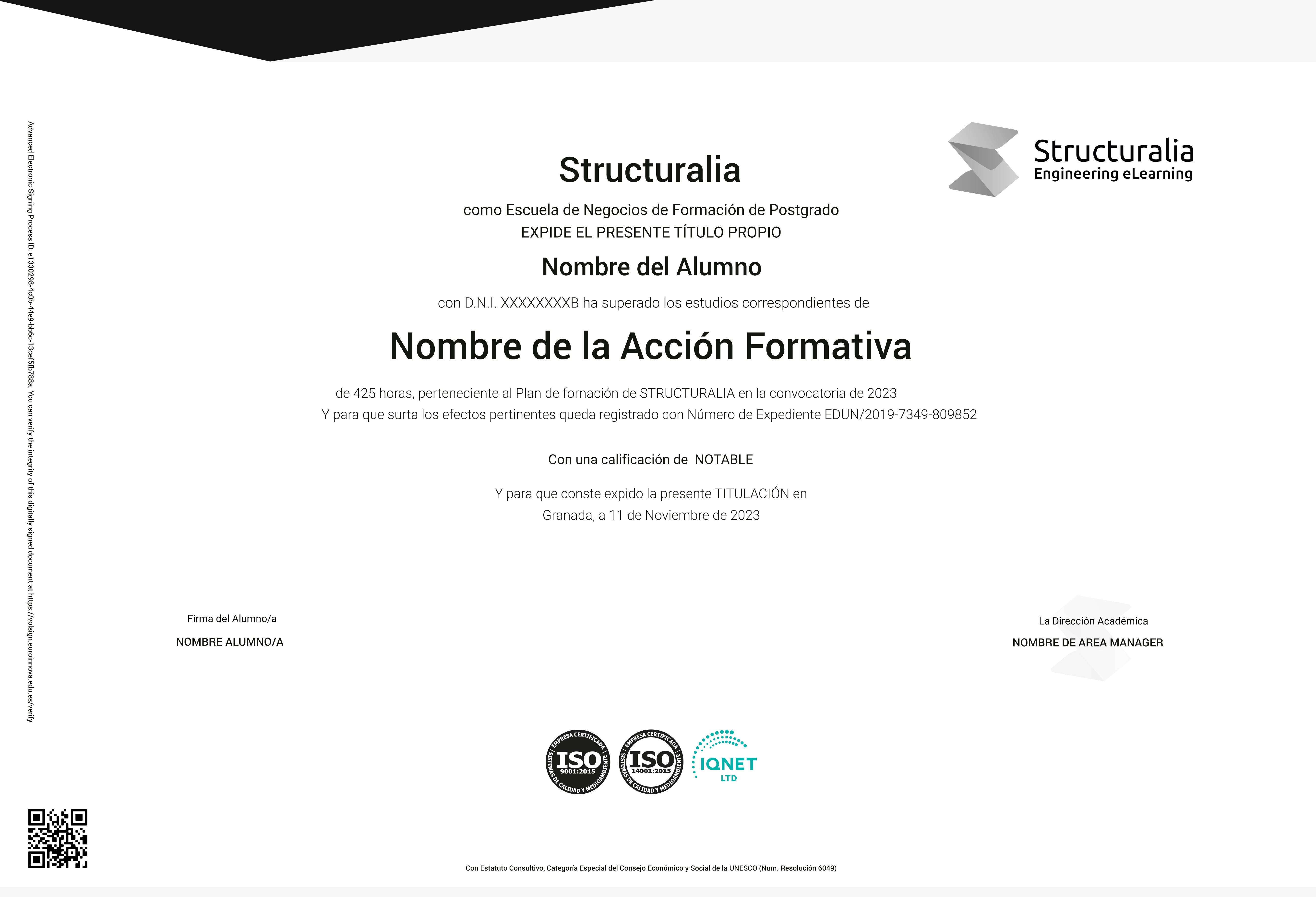
Data course and foundations for geographic information technologies applied to Smart Cities with 200 hours issued by Structuralia

EDUCAHUB Scholarships
Make your most accessible training: Finish 0% interest and get personalized scholarships.
In Eduahub we believe that education must be available to everyone. Therefore, we offer a scholarship plan that facilitates your access to practical, current and quality training, eliminating economic barriers.
-25%
Alumni Scholarship: For former students of Eduahub.
-20%
Unemployment scholarship: if you prove to be unemployed.
-20%
Numerous family scholarship: for families with 3 or more children.
-20%
Disability scholarship: For people with disabilities ≥33%.
-15%
Emprende Scholarship: For self -employed that accredit your activity.
-15%
Scholarship recommends: If you come recommended by an alumnus.
-15%
Group scholarship: For joint inscriptions of 3 or more people.

An entire educational universe, on a single platform.
An intuitive environment that guides you to form autonomously and with purpose.

Learn at your pace
Courses, masters and official degrees. 100% online, flexible and at your pace.

Access from anywhere
Available 24/7 on mobile, tablet or PC. You decide when and how to train.

Phia, your mentor ia
It challenges you, motivates you and customizes your path. Learn with a guide that evolves with you.

LX One Plus: Without limit formation
Unlock soft skills, languages and more. Advances towards integral and continuous formation.


